")
Sub-Total: $0.00


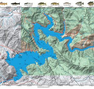
Upper Kings Region 5&6
$12.95
Description
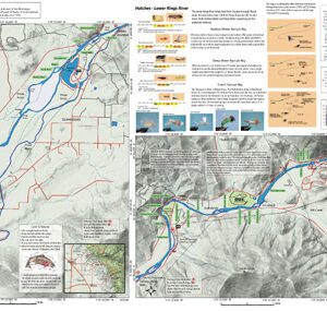
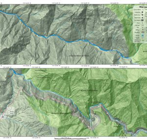
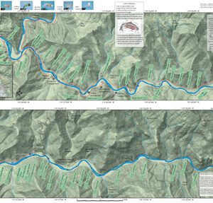
Upper Kings Region 5&6 covers the Kings River between Boyden’s Cave and Roads End. Google Terrain image showing topographical features. River Structures identified. Also included is a hatch chart, mileage markers, road access, Nymphing rigs, Catch & Release Procedures, Campgrounds, Stream Etiquette, and Fishing Regulations.
From Boyden’s Cave to Cedar Grove, the South Fork of the Kings is mostly pocket water with riffles and runs. Browns 10-12 inches at dominant in this stretch of Upper Kings Region 5&6. Above Cedar Grove to Road’s End, the SF Kings river slows down considerably holding Browns and Rainbows in the 8-10 inch class.
To view other sections of the Kings River, visit the website.